
 Contemporary logistics encounters a variety of challenges, including unstable supply chain demands, increased security threats, and unexpected shipping delays. The urgent requirement for real-time cargo tracking and flexible route management has led to the development of innovative solutions. Satellite technology is leading this transformation by offering constant shipment monitoring, route optimization, and improved fuel efficiency.
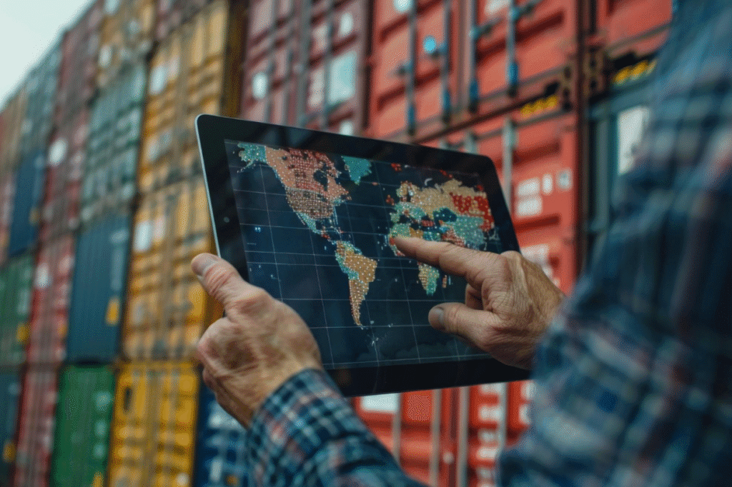
Satellite monitoring provides extensive visibility into global operations, ensuring enhanced transparency and security. Additionally, up-to-date satellite images and maps equip logistics experts with accurate geospatial data analysis, revolutionizing traditional methods and ushering in a new age of efficiency in global cargo tracking and supply chain management. Now, let’s study how satellite tracking facilitates real-time monitoring of cargo.
Real-time cargo monitoring with satellite tracking
Satellite tracking has fundamentally transformed cargo monitoring by enabling continuous, real-time oversight of shipments across land, sea, and air. For example, Maersk utilizes satellite-based systems to track container movements across oceans, which has significantly reduced instances of cargo theft and enabled prompt responses to route deviations. With these advanced systems, logistics companies can seamlessly track the movement of goods throughout their entire journey, ensuring that each step of the transport process is closely monitored. This level of real-time visibility enhances operational efficiency and plays a crucial role in preventing theft and reducing losses. Continuous monitoring helps identify any deviations from planned routes immediately, allowing for swift corrective actions that mitigate potential risks and delays.
One significant benefit of satellite tracking is its capacity to provide a comprehensive overview of supply chain operations. By integrating real-time data feeds and up-to-date satellite imagery, companies can optimize route planning, anticipate and avoid disruptions, and manage logistics resources more effectively. This proactive approach results in improved fuel efficiency and better overall resource management. Additionally, enhanced tracking capabilities help in implementing robust security measures; irregularities such as unauthorized stops or deviations, can be quickly flagged, triggering timely investigations and reducing the risk of cargo theft.
Modern online satellite monitoring systems have become indispensable tools for the logistics industry, offering detailed insights into the movement of transported goods and bolstering security protocols throughout the supply chain. Furthermore, real-time visibility platforms provide a strategic advantage by ensuring that all stakeholders — from depot managers to logistics coordinators — have access to timely, actionable data and up-to-date satellite images that support informed decision-making.
Optimizing logistics operations with satellite data
Satellite technology provides real-time data and the most up-to-date satellite images for optimized decision-making. It enhances route planning, reducing travel time and distance, which leads to lower fuel consumption and faster shipments. DHL, for instance, leverages satellite data to monitor road conditions and traffic in real time, adjusting routes dynamically. Logistics managers use satellite insights to ensure shipments follow the most efficient paths, improving operational efficiency and minimizing environmental impact.
Ongoing satellite surveillance delivers current insights into traffic conditions and possible delays. With the capability to identify congestion and unforeseen disruptions along transport routes, logistics teams can swiftly modify delivery plans, thus preventing holdups and ensuring a smooth supply chain flow. It boosts on-time deliveries and results in considerable cost savings.
Furthermore, satellites significantly contribute to improving fuel efficiency. Their advanced imaging and thermal detection features help identify performance inefficiencies in vehicles, such as excess heat, which can be addressed to optimize fuel consumption and reduce operational costs. Now, let’s learn the role of satellite imagery and analytics in evaluating risks, forecasting disruptions, and refining strategic decision-making.
Enhancing supply chain resilience with geospatial insights
The most up-to-date satellite imagery and analytics enhance supply chain resilience by predicting disruptions and enabling proactive measures. Real-time monitoring of environmental changes and infrastructure helps companies adjust routes and optimize resources, reducing downtime and improving operational agility.
One of the key advantages of satellite-powered monitoring is its ability to assess risks even in remote or hard-to-reach areas. Advanced platforms provide comprehensive data that supports compliance and enhances overall supply chain efficiency by detecting anomalies before they escalate into major issues. Many Earth observation tools exemplify this trend by offering robust geospatial analysis capabilities that assist logistics planners in evaluating terrain, weather patterns, and other critical factors. Such detailed monitoring improves operational responsiveness and bolsters strategic planning, ensuring that supply chains remain agile and resilient in the face of uncertainty.
By integrating satellite imagery and predictive analytics into their operational frameworks, companies can develop more robust contingency plans and safeguard their supply chains against unexpected disruptions.
The future of logistics with satellite technology
Satellite technology is revolutionizing logistics by providing real-time data and the most up-to-date satellite maps that enhance efficiency, security, and resilience. Smallsats (small satellites) in low Earth orbit (LEO) enable continuous global connectivity, allowing logistics companies to monitor cargo conditions, optimize delivery routes, and accurately track shipments. This is crucial for sensitive items like pharmaceuticals and perishables, where timely adjustments can prevent significant losses.
Moreover, combining satellite technology with the Internet of Things (IoT) enhances supply chain visibility by providing detailed insights into cargo conditions, including temperature and atmospheric factors. This enables companies to make informed decisions to preserve product quality during transit.
As satellite technology evolves with innovations like AI-driven analytics and modular payloads, the logistics industry can expect more cost-effective and scalable solutions. These advancements are poised to transform global trade by creating more agile, efficient, and secure supply chains.